![Winter ends on a quiet note but looks to come back later this week [Video]](https://canadanewsvideo.com/wp-content/uploads/2024/03/mp_469305_0_NE66OYHOBBHYXEZLOIWOYTAN2Ypng.jpg)


CEDAR RAPIDS, Iowa (KCRG) – The final hours of winter wind down as the astronomical start of the spring season occurs on Tuesday.
Clear sky tonight will take us into a mostly sunny sky tomorrow, something that will stick around through Wednesday. After a brief spring warmup into the upper 50s on Tuesday cooler and more wintry weather is ahead the remainder of the week. Cooler temperatures and snow and rain chances move our way.
Our first chance for snowfall comes from an Alberta clipper-type storm late Thursday and Friday. This could produce rain, snow, or a rain/snow mix depending on the track of the storms Additional wintry precipitation chances are looking for the weekend into the early part of next week.
If you have travel plans for this weekend into early next week, especially those that take you north or west, start considering …


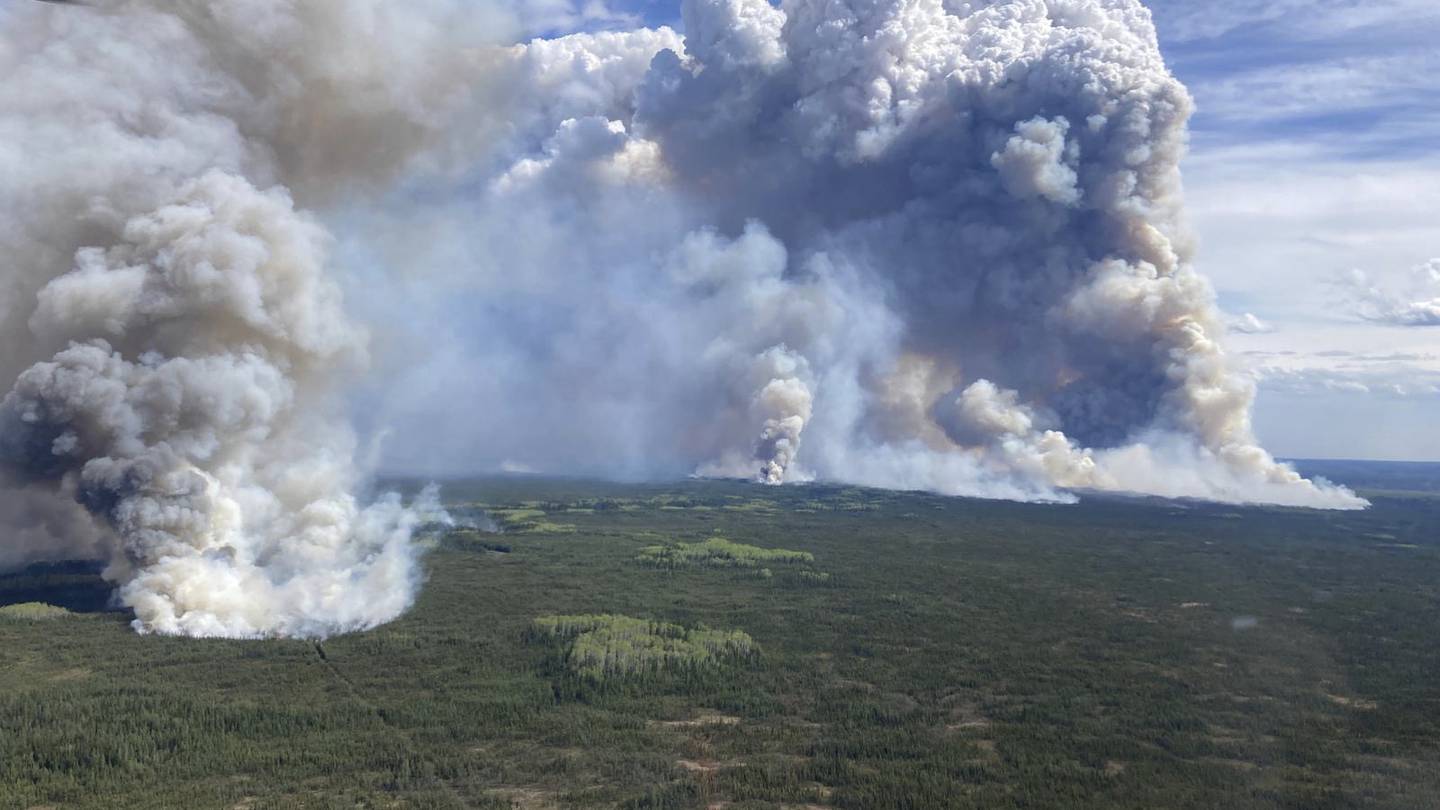
![Fort McMurray evacuation orders and alerts lifted Saturday [Video]](https://canadanewsvideo.com/wp-content/uploads/2024/05/mp_534295_0_fortmcmurrayfire168871181715726284136jpg.jpg)
![Canadian oil city lifts wildfire evacuation orders [Video]](https://canadanewsvideo.com/wp-content/uploads/2024/05/mp_534193_0_6644570353f8aimagejpg.jpg)
![Edmontons humane society supporting evacuated Fort McMurray pet owners - Edmonton [Video]](https://canadanewsvideo.com/wp-content/uploads/2024/05/mp_532416_0_cATjpg.jpg)